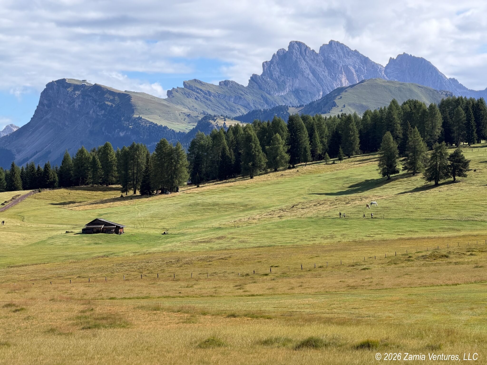
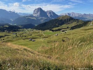
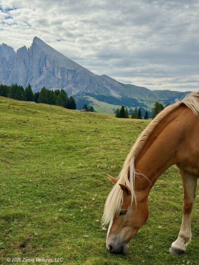
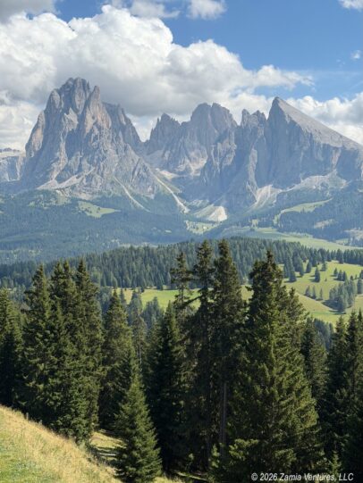
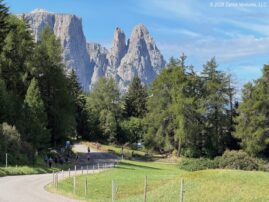
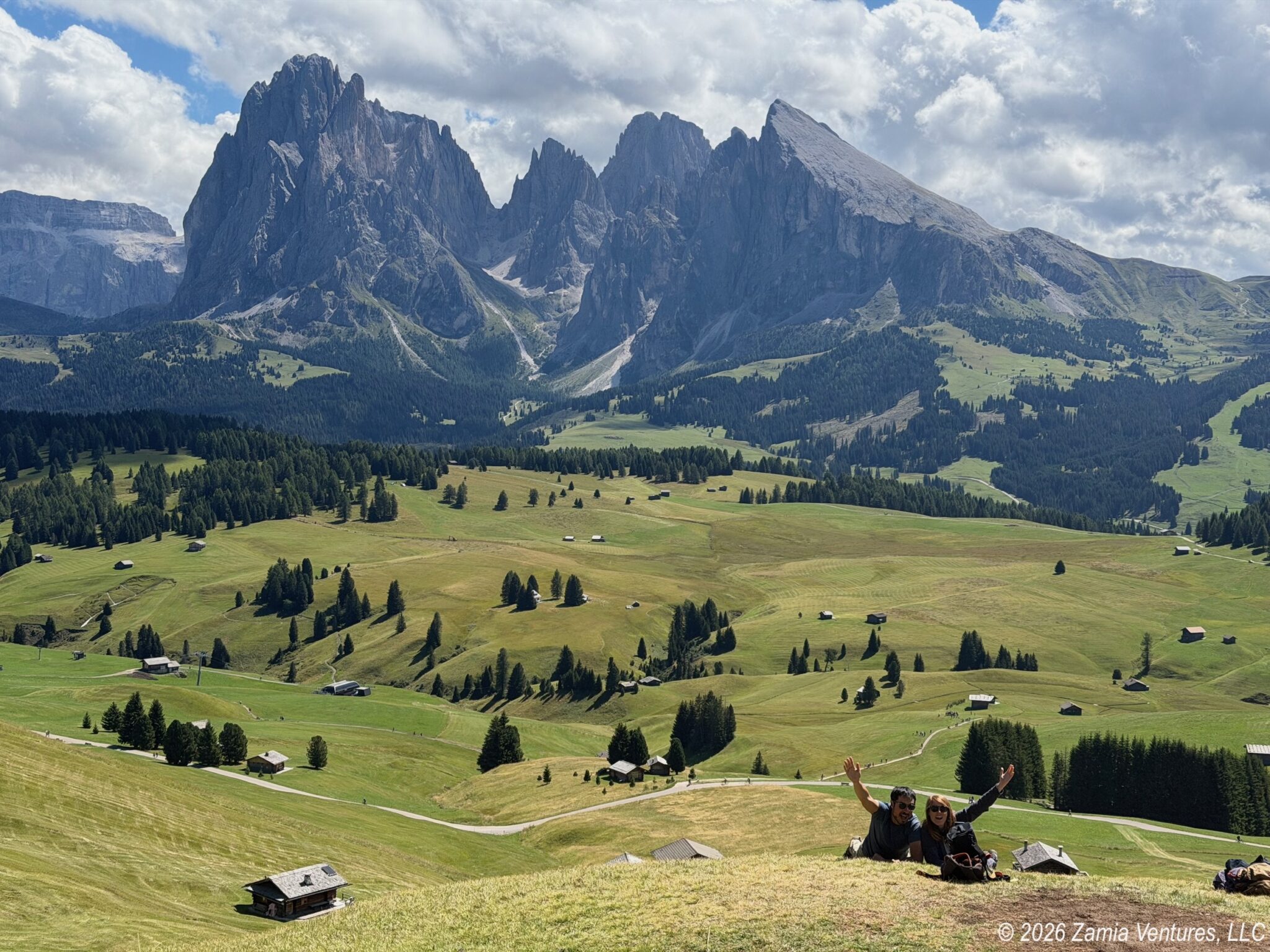
After wading through thousands of words in my prior two posts about Munich and Innsbruck, a reader could be forgiven for believing that the main purpose of this European adventure is to visit German-speaking cities. But all that was just a lead-up to one of the two primary destinations of this trip: the eastern portion of the Italian Alps, also known as the Dolomites. We wanted our August travels to beat the heat by getting us to some significant elevations, and while we could have chosen plenty of places in the Alps we wanted to be closer to the eastern end of the range for proximity to our other primary destination, Vienna. Plus, these mountains are Instagram-famous and if we are being totally candid that helped get us excited about planning a visit here. I mean, just look at this:
Choosing a Home Base and Getting There
In selecting a place to stay to experience the area, we had several criteria. We wanted:
- good public transportation, since we did not want to rent a car to get there or get around
- access to multiple hiking options, since we would be staying a week
- an apartment with a kitchen, since we would be staying a week, and a washing machine so we could make it through our 3+ week trip with just carry-on luggage
- a town large enough to have a decent grocery store and several restaurants to choose from
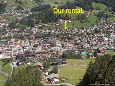
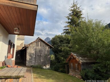
We looked into point-to-point hiking tours of the Dolomites to get a sense of where there was a good network of interconnected trails. Based on these criteria, our three primary choices were Cortina, Corvara, and Ortisei — all well-known tourist towns in the heart of the Dolomites located in valleys below spectacular mountains. Cortina seemed like it could be over-run after hosting the mountain components of the Winter Olympics in early 2026, and Corvara seemed a little more remote and challenging to access, so we landed on Ortisei (also known as Urtijei in Ladin and St. Ulrich in German), and we ended up being very happy with our choice. We rented this charming and centrally-located basement walk-out apartment, and it worked perfectly for us.
Getting to any of these small mountain towns poses a bit of a challenge; our route from Innsbruck involved (i) an Innsbruck local train (Stadtbahn) to the Italian border at Brennero / Brenner, (ii) an Italian regional train from Brennero to Ponte Gardena / Waidbruck, and (iii) a local bus from the train station up the valley and into town. That being said, our train left Innsbruck at 9:49 and we arrived in Ortisei around 12:30, so the journey was not too long even with all the transfers.
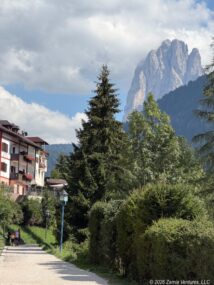
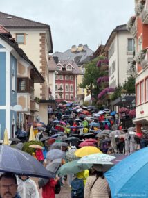
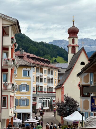
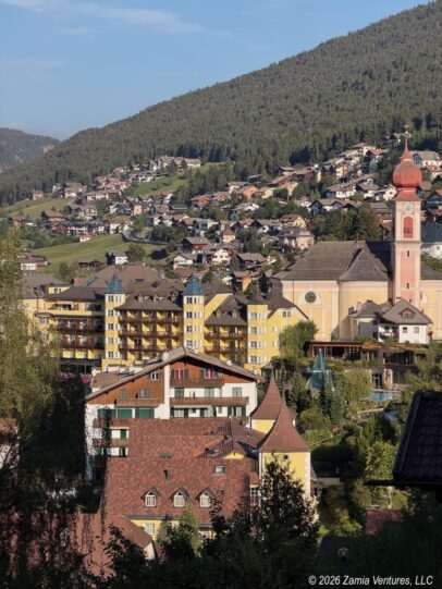
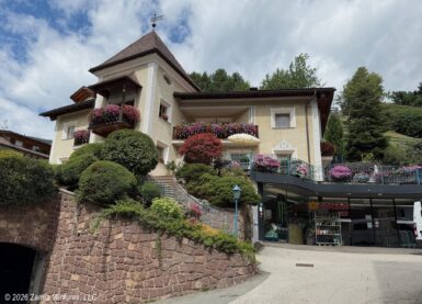
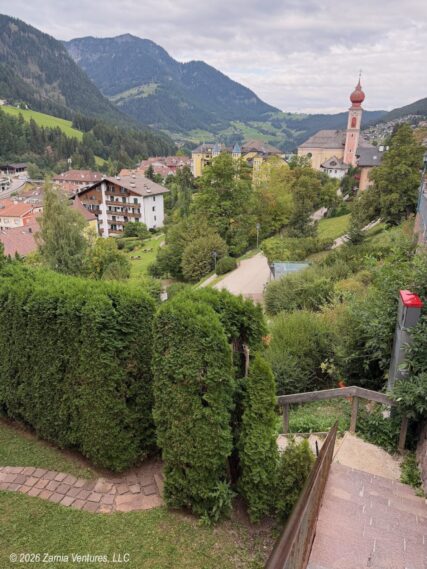
Once we got to town it was easy to get around on foot. Everything was within very short walking distance, including three different lifts (two cable cars and one funicular (incline) railroad) to whisk visitors up into the towering mountains that surround Val Gardena. The town itself is everything one could want from a tourist destination: clean, cute, well-supplied with restaurants and lodging options, and staffed by amazingly multilingual people.
Five Good Hiking Days
We were fortunate to enjoy generally excellent weather during our week-long stay, with just one day being a total washout because of widespread thunderstorms. We used all three lift systems to get up into the mountains to start our hikes, and made the smart investment in a 6-day pass for our visit. While it is possible to hike up from Ortisei into the surrounding mountains, we are in no kind of shape to arrive in a town located at 4,000 feet above sea level and immediately tackle hikes with thousands of feet of elevation gain.
Hiking the Seiseralm / Alpe di Siusi
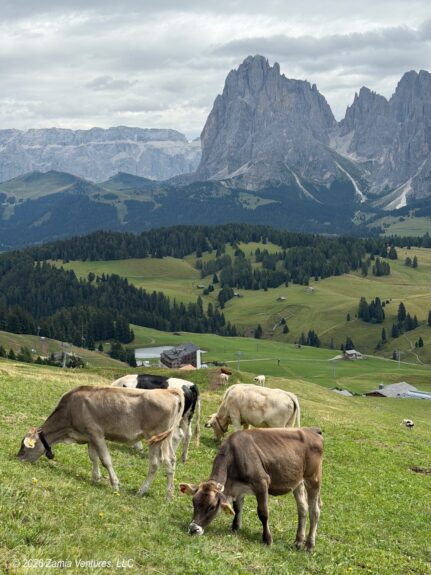
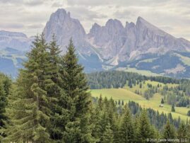
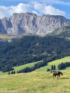
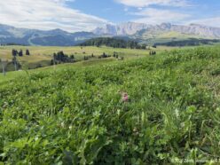
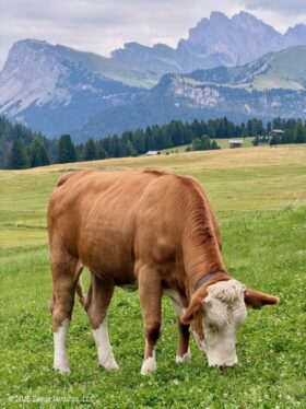
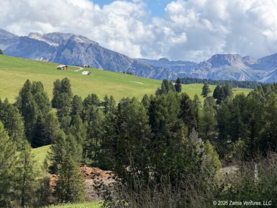
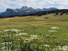
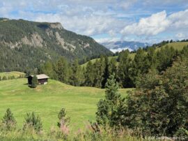
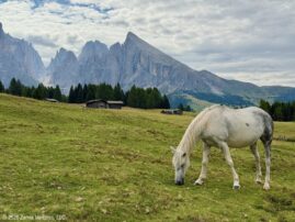
The cable car up to the famous Seceda ridgeline requires advance reservations, and we would need the serial numbers of our lift passes to make that reservation. As a result, we started our first full day of hiking by buying the lift passes at the Mont Seuc cable car station and heading up the steep bluff on the south side of Ortisei to the Seiseralm / Alpe di Siusi. This 20+ square mile area is the largest alpine meadow in Europe, and has been used as summer grazing land for thousands of years. Today, in addition to a working landscape filled with cows, goats, horses, and even llamas, the area has a thriving summer (hiking) and winter (skiing) tourism business. One look at the towering, awe-inspiring mountains ranges surrounding the verdant meadows makes clear why this is a popular tourism destination. More evidence of the volume of visitors is the significant number of rifugios (refuges, or restaurant/snack bars) and hotels dotted across the endless meadow. Most of the rifugios have family-friendly amenities like playgrounds and/or petting zoos, and their generous terraces invite guests to stay a while to enjoy refreshments and the incredible views.
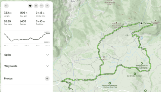
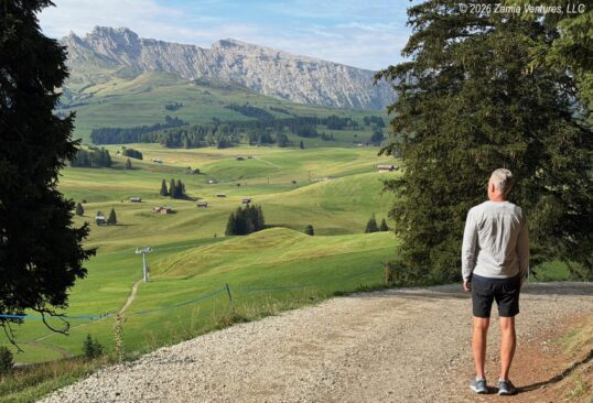
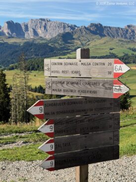
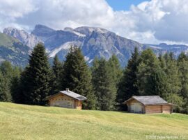
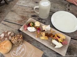
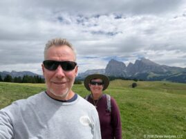
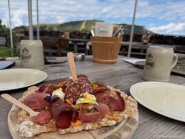
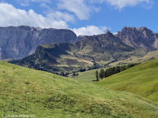
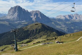
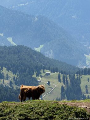
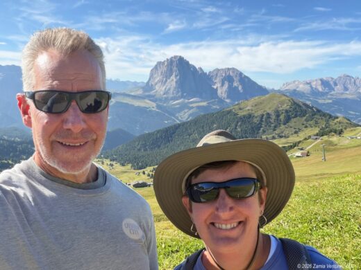
Our day one hike was fairly similar to this one on Alltrails, except that we stopped for snacks at one of the rifugios (Gostner Schwaige) instead of hiking all the way into the village of Compatsch. A sampler platter of delectable house-made cheeses decorated with edible alpine flowers and half-liters of beer were perfect for restoring our energy to complete the circuit back to the cable car. This adventure was so delightful that we repeated it four days later, following the same route and stopping at the same rifugio — literally the only difference being that we selected a platter with cheese and meat on our second visit. You might think that seeing the same landscape twice in the same week would be a let-down, but we didn’t feel the slightest bit bored with the same dramatic scenery coupled with the fun livestock. Here are various photos taken from our two identical (and equally enjoyable) hikes:
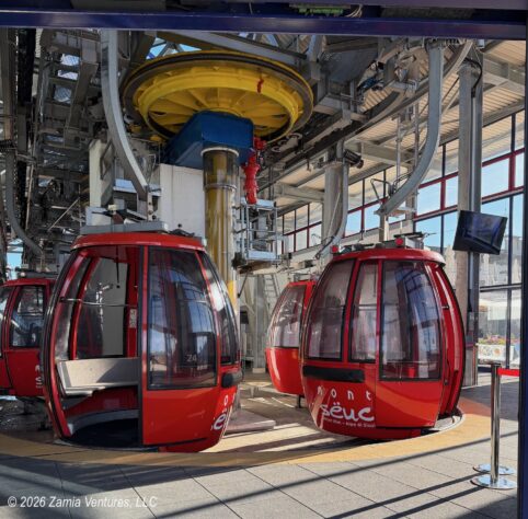
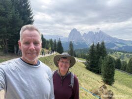
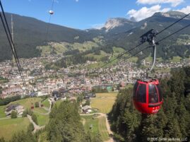
The Mont Seuc cable car has small-ish bubble-shaped cars, which seat 6 and can hold up to 15 people with standing room, and are spaced close together along the lines so cars load continuously. We never had more than 6 people in our car and had it to ourselves on several occasions. This is how I discovered that Ken apparently has outgrown his issues with heights, because when we were alone he was hopping around in the car taking photos in all directions while I was nervously gripping the seats while the car swayed.
Hiking Seceda
After completing our first Seiseralm hike, we made reservations to take a different cable car — actually two back-to-back cable car rides — the following morning to reach the Seceda ridgeline to the northeast of Ortisei. We showed up at 8:15 for our 8:30 reserved time to find quite a long line of people already in place, foreshadowing the popularity of this spot. The first stage of the Seceda cable car features cars seating 8 people and takes a relatively flat approach to the intermediate Furnes station. The car from Furnes to Seceda is the size of a mini-bus, holds 50+ people in standing-room-only configuration, and makes a steep ascent to the crest of the Seceda ridgeline.
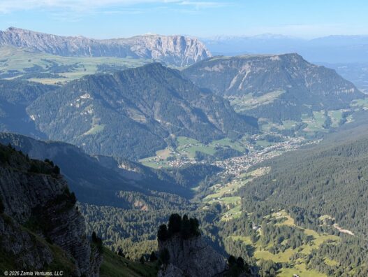
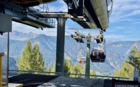
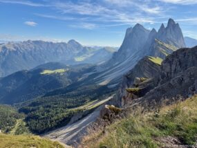
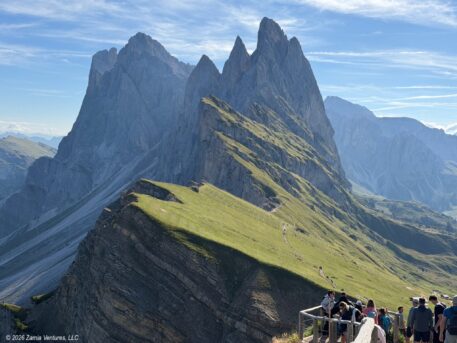
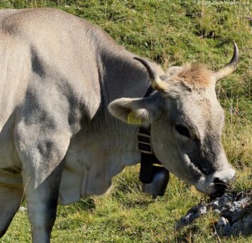
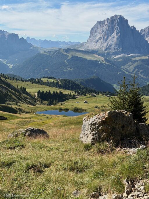
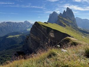
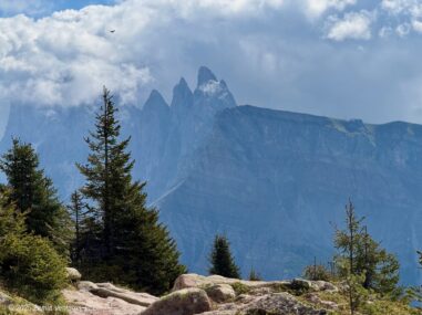
Like all the others on our cable car, we immediately headed up to the tippy-top of the ridgeline to gape at the uplifted edge of Mont Seceda and the dramatic, rugged fingers of the Odles group of peaks. (Odles means “needles” in the local Ladin language, which is perfectly descriptive.) Though we admired the enterprising spirit of a local landowner who has instituted a 5 euro charge to get to the “best” Instagram viewpoint, we headed along the ridge on a slightly lower line in the direction of the “donkey ears” Pieralongia rock formation. Looking at the stack of hikers waiting to pay the viewpoint fee, I was happy to be on the alternate trail with just one other misanthrope and/or non-social-media user.
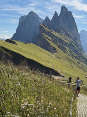
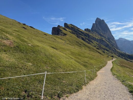
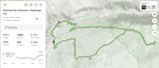
After making our way through part of the Puez-Odle Nature Park and observing more placid grazers, we turned around at Pieralongia. On the return, we took an even lower line through across the valley, only realizing the error of our ways when we arrived below the cable car station. To complete the loop, we were facing a steep uphill climb of 1,000 feet in the final 0.8 miles. We survived, barely. Luckily there were plenty of excuses to take photo breaks.
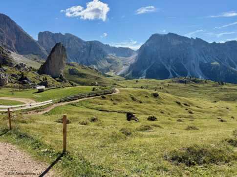
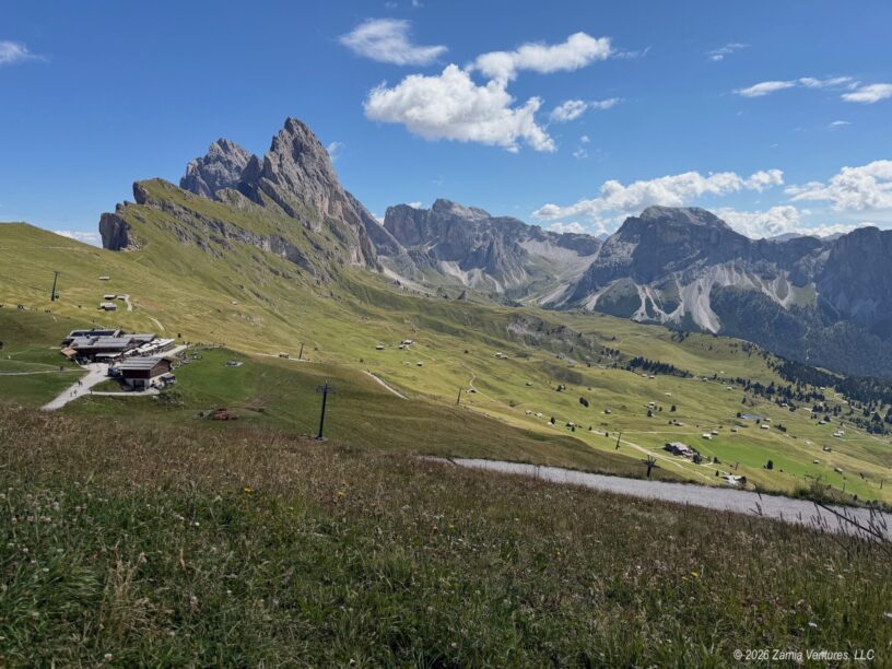
While the scenery at Seceda is iconic, the combination of dense crowds and a very steep uphill finish convinced us that one visit was enough.
Hiking Resciesa
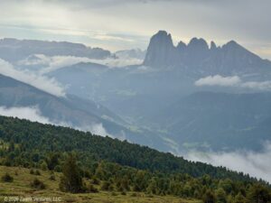
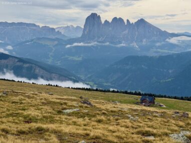
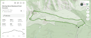
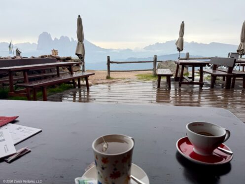
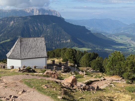
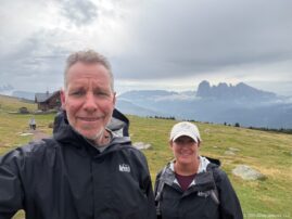
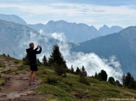
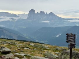
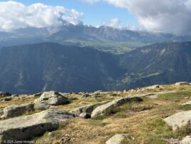
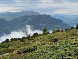
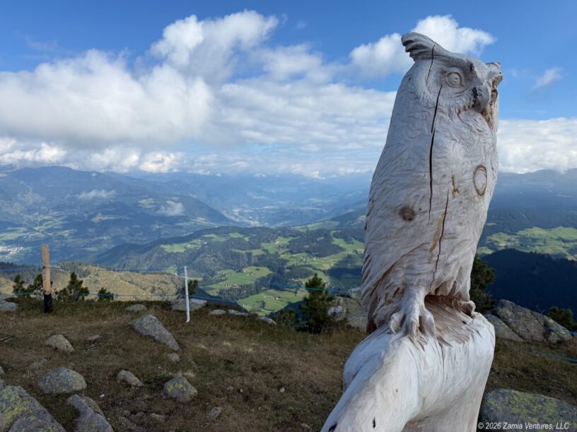
Weather on our third day promised significant afternoon storms, so we planned to visit the Resciesa plateau on the north side of Ortisei where the hiking loop around the top of the plateau is just three miles long. We thought that we could scoot through a three-mile hike, but no. The ever-shifting clouds rising from the valleys created such interesting scenes that we were constantly stopping to take photos. Plus the sprinkling rains got a little heavier just as we were approaching Rifugio Resciesa, so we stopped in for a tea and coffee break. We did make it back to town before the major afternoon thunderstorms hit, and we enjoyed the panoramic views from the mountain-top meadow so much that we repeated this hike on our final day in Ortisei. While this hike is certainly not one that you see on lists of “top Dolomites hikes,” we absolutely loved being able to get a wide-angle and long-range view of the formations surrounding Val Gardena (Seceda/Odle Group, Sassolungo/Langkofel, Schlern/Sciliar, and more) as well as a birds’-eye perspective on the villages dotting the valley floor.
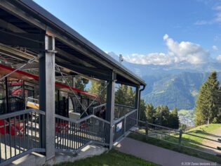
Photos from our two visits, which are easy to distinguish because of the weather:
Around Town
It was hard to escape the easy multilingualism of Ortisei. Val Gardena is an area where the Ladin language (a descendant of Latin that is separate from Italian) is still widely spoken, but we primarily heard Italian, German, and English. Public-facing positions like store clerks and restaurant servers all seemed to have strong working knowledge of all three languages. In an effort to be a good guest, I started most interactions with the question, “Is English OK, oder ist Deutsch besser?” Most people defaulted to English, but my German definitely came in handy as well.
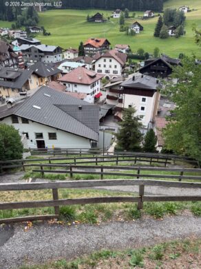
We really appreciated the transportation infrastructure of the town. Besides the two cable cars and one funicular railway, there are also public escalators and inclined moving sidewalks to help people navigate the mountainous town. All these public assets made it seamless to get around. Not gonna lie, however — hauling groceries for dinner up stairs and switchbacks was still challenging after a day of hiking. Also, individual cable-car tickets add up fast; we had covered the cost of our 6-day passes by the end of day 3. Having the pass also gave us the luxury of fun trips, like an afternoon ride up Mont Seuc for the sole purpose of having some struedel at the cafe situated right at the upper cable car station.
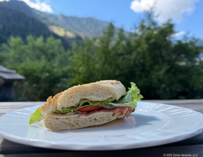
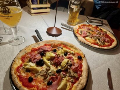
For us, the undeniable tourism orientation of Ortisei was a plus. Two full-service grocery stores and the wide variety of cafes, restaurants, and shops likely would not exist in a town of fewer than 5,000 people without the tourism trade. We took advantage of our AirBnB to make most meals at home, so our only restaurant meal was rainy-day pizza at Mauriz Keller. We generally preferred to pick up ingredients or sandwiches in town and enjoy them in our comfortable home for the week.
The locally-provided hiking resources are maddeningly unspecific. Trail maps include trail numbers, but no distances! Once out on the trail, signage indicates direction and distance in minutes, which is also less than fully helpful. Luckily Alltrails had plenty of trail maps using metrics we are accustomed to, like distance in miles and information about elevation gain on the route.
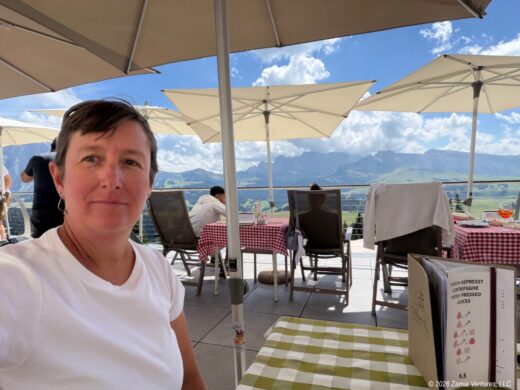
And I can’t fail to mention the ubiquitous presence of influencers (or maybe just the influenced) who seemed single-mindedly focused on getting the perfect photos. It wasn’t hard to spot the people doing little dances or funky poses for their film crew (usually a sibling or partner). People who brushed their hair or did their makeup for the shots stood out even more, as did people re-enacting walking across a bridge multiple times for the “right” video shot. Look, we can’t really judge since we were drawn to to Dolomites in part because of social media. But there are so many incredible vistas that it seemed completely foolish to stand in line to get a photo at one particular promontory. As you can plainly see from our photos, we were too busy enjoying the scenery to make ourselves beautiful for posterity, and we are pleased with our choices.
Next up: a brief layover in Salzburg before heading to Vienna.


What stunning photos! Glad you’re enjoying your trip!
Thank you! As you can imagine, I have about 1,000 more photos of the mountain scenery that look very similar. Plus videos of cowbells! It was hard to narrow it all down for this post, and I didn’t do a great job of keeping either the words or the photos to a minimum…
I am envious of the opportunity to stop WHILE ON A HIKE to enjoy a delicious pastry and/or beverage that didn’t come out of my pack all squished or slightly bleachy-tasting through the hose of a water bladder. I am, seriously, rethinking everything.
We’ve been reflecting a lot on the fact that the Dolomites are a spectacular natural landscape, with some of the land protected as park, but there are people on the landscape everywhere. Shepherds have been bringing herds to the high meadows for thousands of years, and the original rifugios were small inns / rest stops that catered to that local traffic. It’s not that much of a stretch to add hikers, bikers, and people taking horse-drawn carriage rides into the scene, and of course the rifugios have multiplied to keep up with that increase.
In the US our concept of a park sort of implies a lack of permanent signs of people (outside of a few historic inns at some of the older parks) and a lack of commercial activity, but of course the only way that was achieved in the first place was removing the people in order to create the park. For example, I think about the large number of families (both indigenous and European) who were forced to move when the Great Smoky Mountains National Park near us was created. It could have been so different – we could have had tasty mountain snacks available along all the hiking trails!
What a trip
Also enjoyed the comments on why you picked that location in that town versus the other town choices that’s very helpful for future travelers
There were so many highlights !
would you have stayed longer if you had the choice? Or visited one of the other two cities you mentioned?
The scenery is great but we had practical considerations also. If I had included photos of the tiny mountain roads you would see why we had no desire to rent a car – even a Fiat 500 seemed over-sized! The town worked out perfectly, so much so that Ken is plotting to move there. (Kidding…… maybe.) I thought a week was a good time period for a visit, but Ken would have happily stayed for two. Our entire trip will be over three weeks; while it’s always nice to stay longer there is also the next place to see!
I honestly can’t get over these photos. These might be some of the most beautiful landscapes I’ve ever seen, and that’s saying something considering I’ve been reading travel blogs for over 15 years now.
As for the influencers, I don’t know if you’re aware of this, but under ancient Germanic law, you’re allowed to push those people right off the mountain. #themoreyouknow
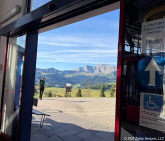
All the hype is based in reality! These mountains truly are stunning in virtually any kind of weather. However, those lists of “5 top places to see in the Dolomites” – while definitely identifying five specific spots to stand to take an amazing photo – don’t really capture the fact that everything is stunning. I included that photo of the doorway at the Mont Seuc cable car station as a reminder to ourselves that the scenery was incredible from the first moment we walked through the door. Needless to say we have many, many similar photos of the scenery because we just couldn’t stop ourselves. It took me forever to choose the ones for the post; I can’t imagine how much time the “influencers” spend editing their videos and photos because they were taking about 5x our number.
The funny thing about the influencers is that they take so long prepping their shots they never get far from the trailheads. You won’t see the horses from mile 2 or the cows from mile 5 on their posts!
What a fabulous week! Every single photo you took could be a postcard. I can’t tell you how many times we’ve been hiking somewhere in the middle of nowhere and I’ve said to Eric, “This is the perfect place for a coffee shop/bakery.” I think the Dolomites are my kind of hiking, lol. You even got flowers on your cheese platter! I’m so jealous.
Everything sounds fun, except when you discovered you were below the cable car and had to hike 1,000 feet back up in just over a half-mile, 😳. BTW, I’m very impressed that Ken has no fear in those swaying cable cars. That’s impressive, because I remember when he was leery on the trails at Pinnacles. You both look fantastic and fit and happy, and much better than any influencers!
One last thing…I want that carved wooden owl. 😬
We weren’t sure if the Dolomites would live up to the hype but the scenery absolutely exceeded our expectations and equaled any other mountain vistas we’ve experienced before. Having people-friendly amenities like cable cars, chair lifts, snack stops, and even things like e-bike rentals really makes this a place that can be enjoyed by a wide variety of people. There’s plenty for families with small kids and also plenty for people with limited mobility. We really liked how accessible it all is — even though that naturally means we were never alone on the trail.
Plenty of the “influencers” will tell you that you can save the cost of the cable car by simply hiking up the mountains (or taking a shorter lift and hiking uphill for a few hours), and I am here to tell you that you will NOT look good when you reach the ridgeline unless you are part billy goat. Those climbs are brutally steep!